Saturday, July 7, 2012

Sephora Birthday Gift - 2012

For those who don’t know, one can receive a nice birthday gift from Sephora by signing up for their Beauty Insider program which you can do online here.  It’s very easy to sign up and it costs nothing.  This year’s gift is the “Sugar Kisses Mini Lip Duo.”  The first is the regular “Mini Sugar Lip Treatment” and the second in the set is the “Mini Sugar Rose Tinted Lip Treatment.”  Both have an SPF of 15.  The description on the back of the box reads “Our birthday gift to you:  the sweetest smooch ever!  This lip-loving duo nourishes, protects, and perfects your pout with a blend of skin-softening sugar, moisturizing seed oils, and antioxidant-rich vitamins.” 

I love these lip treatments and would likely purchase the full size products.  Thanks Sephora! 


Back to the Mine

The first time I went to this mine was at night, so I was really anxious to see what it looked like during daylight hours.  Quite a few people attended the hike.  Before the hike, Ranger Jim told us a bit of the mine's history.

Back in the 1950's, a woman named Lelia P. Irish had staked a claim for the mine.  She then claimed that the talc-like deposit found on the walls of the mine was a cure-all and actually made a lot of money off it.  She even got the endorsement of a doctor by the name of Dr. J.F. MacNeil, who backed up her claims.  She had also planned to build a resort in the area.  Jim gave us a really interesting handout which includes a letter written by Lelia to the India Chemical Co. of California (who would distribute her "cure-all") outlining her plans for the resort and her plans for what she called the "White Hope" deposit found on the walls of the mine.  The handout also includes a photo of the patent for her miracle cure, a photo of (who appears to be) Dr. J.F. MacNeil standing by the entrance to the mine, the site of the swimming pool, Dr. J.F. MacNeil standing in Apache Creek, a view of the camp, a 50-foot cactus, and the laboratory in Apache Park.  In addition, the handout includes advertisements for the miracle cure.

He also gave us a copy of an actual claim. Apparently, one would simply leave a note in a jar or can at the entrance to any given mine. I believe Jim said they have the original of the following in the park's office. It reads -

March 30, 1958

Leonard and Gerlee M Kincaid
8317 N. 31st Ave
Phoenix, Arizona
and their children, do
stake out this claim.
Vance, Oran, Kincaid and Euloh
MG Kee, Mabel M Staddon,
Patricia J Harp - and Darlene M
Kincaid and their descendants.

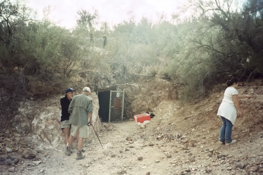
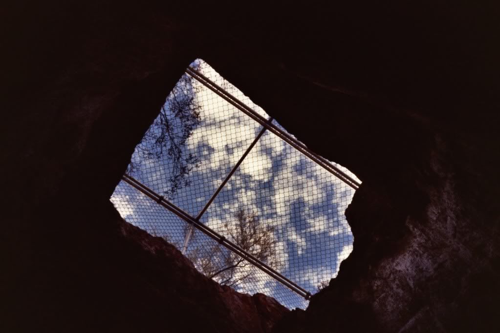
Like last time, we went into the mine in groups of about five. We were also able to climb up to where the opening of the mine shaft is and look down into the mine. On the trail, Jim also pointed out the old Overton Trail as well as an old jeep road high up on the mountain which was barely visible. Very interesting hike!

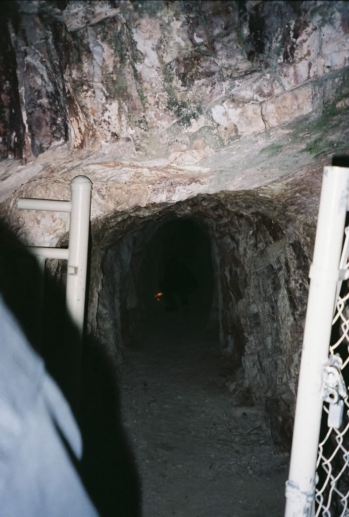
The entrance to the mine.


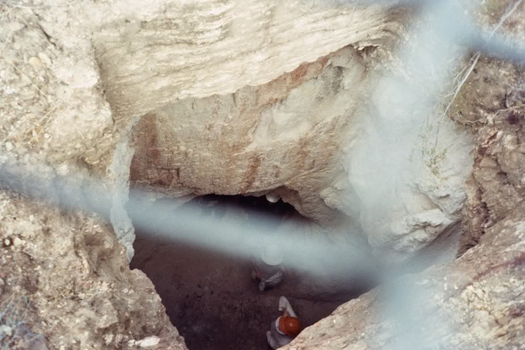
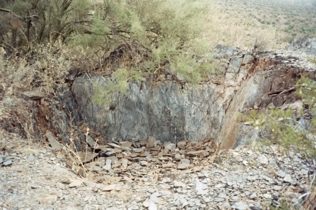
Looking down into the mine.


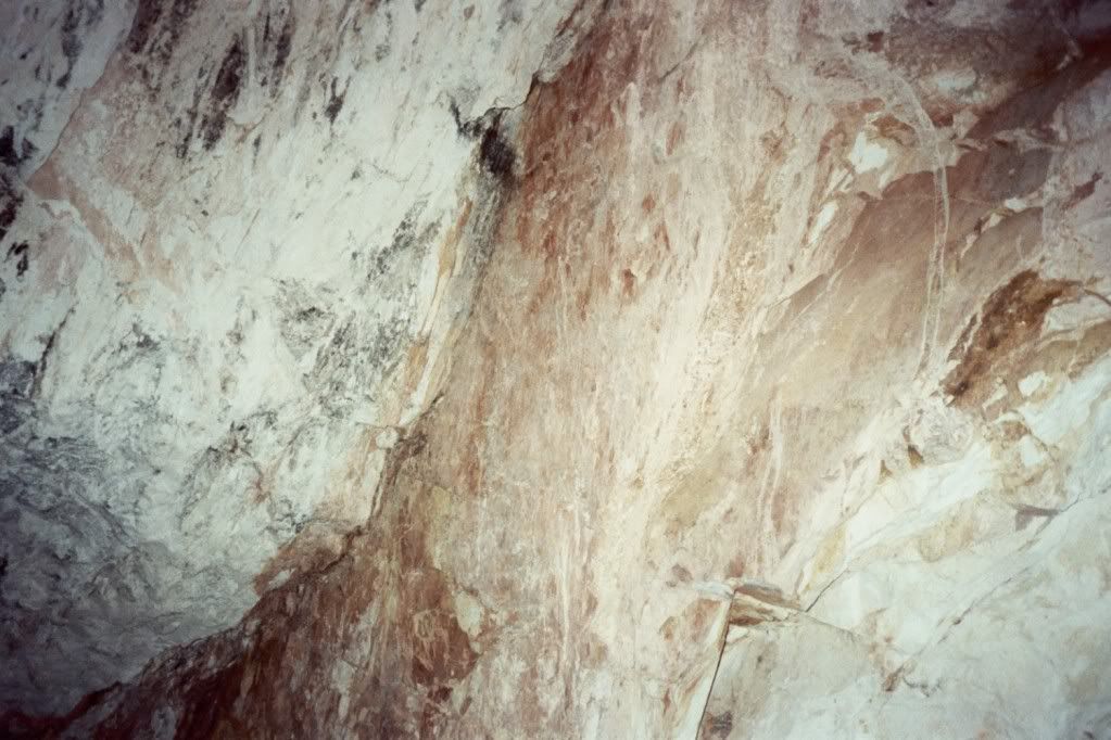
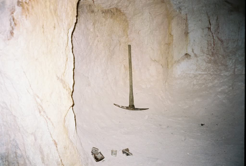
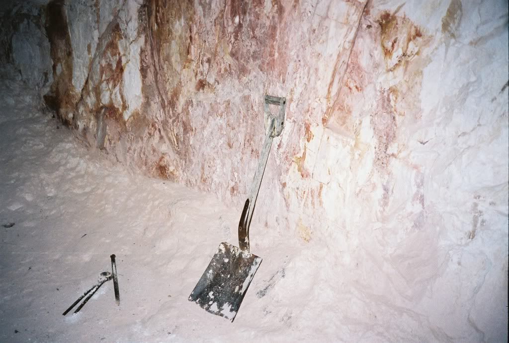
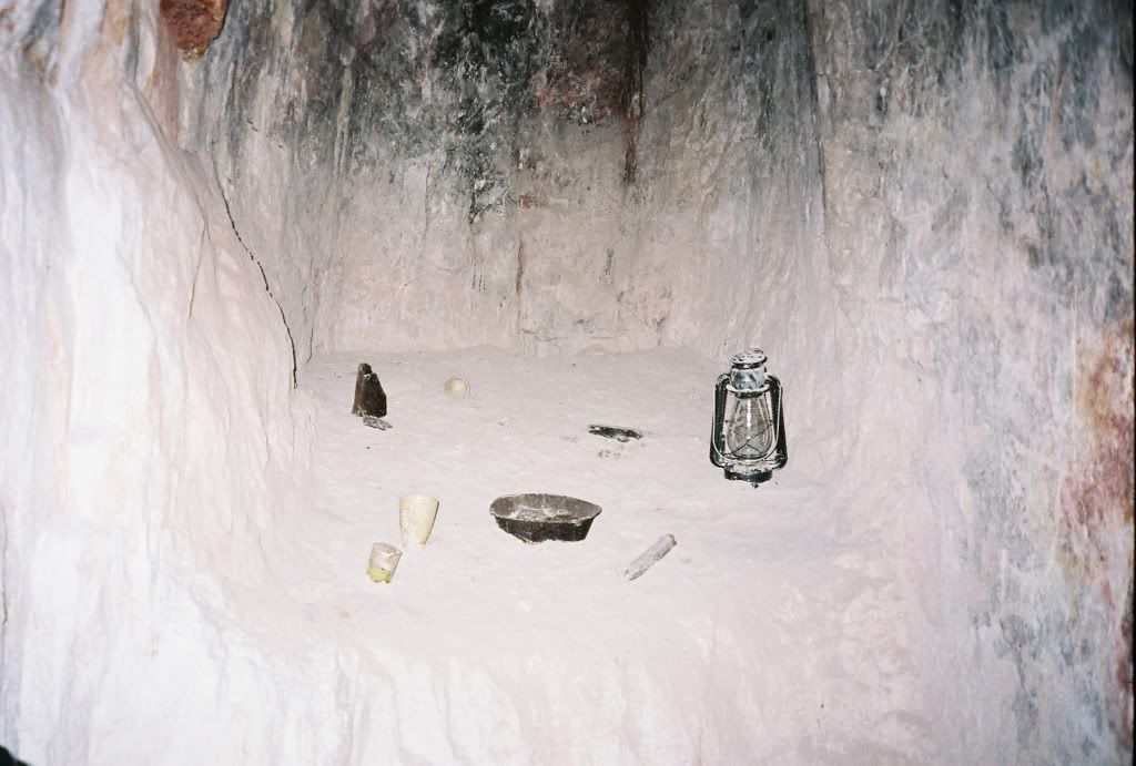
The walls of the mine.


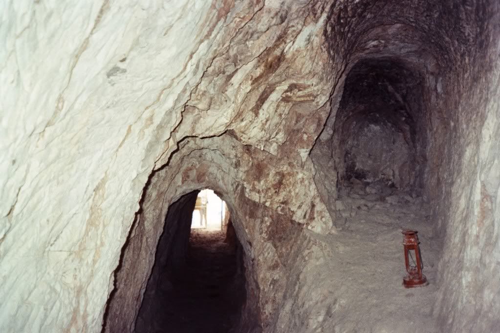
I took this picture while in the mine looking out toward the entrance.  You can see one of the artifacts to the right.


This is a cool shot I took while in the mine looking up.


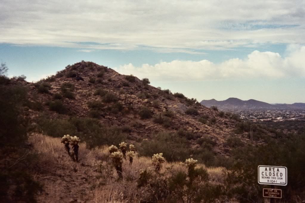
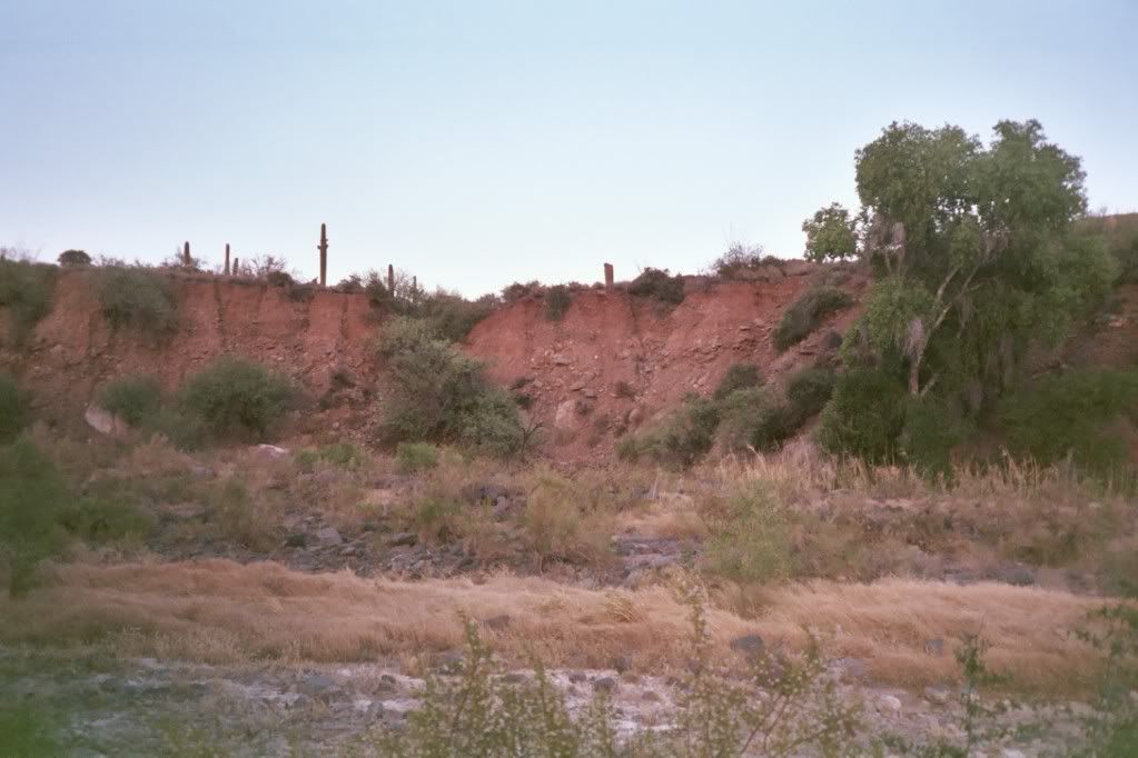
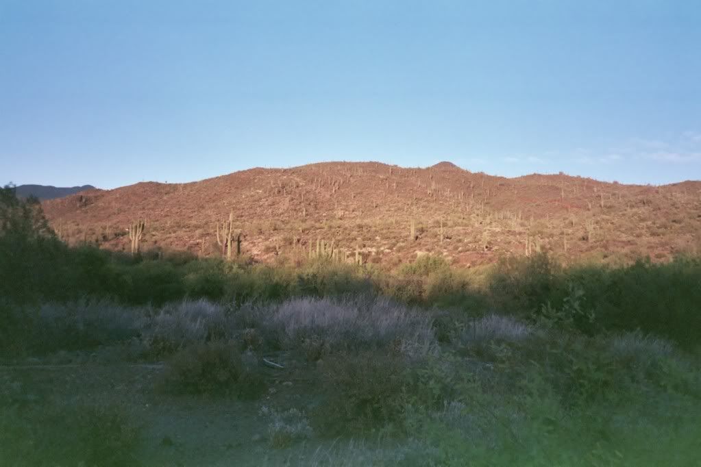
A shot of the surrounding area.


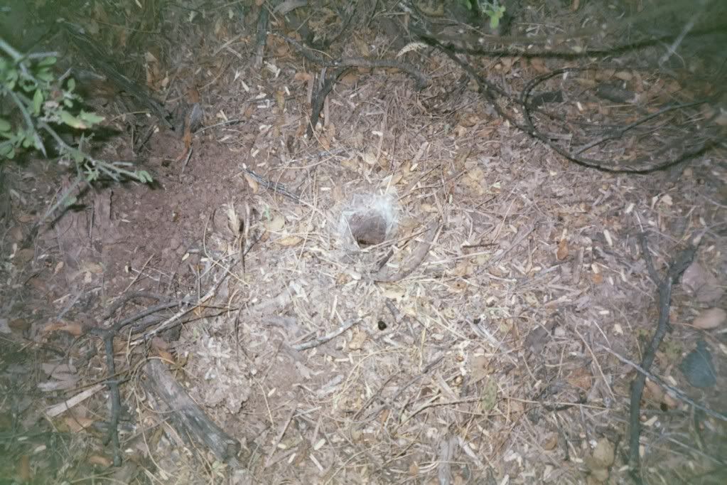
A very dangerous mine.  I believe I wrote about this in my last post.  If that "rock floor" gives way it's a long way down. 


You can see a few more pictures from this hike here.  


The Clay Mine at Night - Cave Creek Regional Park

The trail for this hike is located in the Cave Creek Regional Park which is located north of Phoenix.  For more information on the park, including a list of upcoming events, see here.  This hike was a bit of a workout, but there was an incredible reward at the end.  We started out on the Overton Trail and then turned onto the Clay Mine Trail where it intersects with the Overton.

At the point where the Clay Mine intersects with the Overton, the ranger stopped for the rest of the group to catch up.  It was also here that he explained that one could often hear a great-horned owl hooting off in the distance.  We also got a fairly nice view of the city here.

Shortly after we had turned off onto the Clay Mine Trail, we came upon one of the many abandoned mines in the area.  I have to admit that I was a bit disappointed at first as I initially thought this was our destination.  It was a hole in the ground approximately five to ten feet across and maybe five feet deep, the floor of which was covered with rock.   The ranger warned us to stay away from these as the "floor" can give way and one can fall in.  In fact, I believe the ranger said that someone had actually been killed a couple of weeks before when they fell into a mine.


I'm happy to say that the Clay Mine exceeded my expectations!  It was very interesting to see the inside of it.  I think the fact that I saw it at night added to the experience.  The entrance to the mine is gated and locked.  Apparently, they've had some problem with vandalism and theft of some of the artifacts in the mine.  After he unlocked the gate, the ranger went in ahead of us to check for animals (I believe he said he was going to make sure there was “nobody home” – eek!) and light candles which he placed along the sides of the tunnel so that we could see where we were going.  The mine is small, so we went into it in groups of five.  After putting on protective helmets (one can hit their head on the ceiling of the tunnel and small rock can fall from the walls of the mine), we walked along a tunnel that was about one hundred feet in length.  The mine itself is very small.  Only about five people can fit in the main portion of it, and then there are two raised areas off to the sides.  The sides of the mine are covered with a substance that feels a bit like talcum powder, and you can see the night sky as you look upwards.  It was really interesting.  The next trip I took to this mine took place during the day and I learned more about the history of it.   


Spur Cross Conservation Area - Part 5 - Sunset Hike


I was looking forward to this hike because it was my first Sunset Hike and was taking place out at the Spur Cross Conservation Area, one of my favorite places to hike.  I met Chetan, Michiko, and Bev at the Fry's on Cave Creek Road.  Bev's son, Chris, and his wife, Kara, were with her, so we got a chance to meet them.  Michiko, Chetan, and I went in one car and Bev, Chris, and Kara followed us in her car.  It was a small group as there was only one other person out there in addition to our group.

Kevin started out as he usually does by telling a little bit of the history of the area. He showed us a cactus in a picture from the 1950s. It was interesting to see how much it had grown when we saw it on the trail. During the hike, Kevin also pointed out where the original Spur Cross Ranch was and where they believe Warren Beaubien crashed his plane in the 1950s.  More of that story can be found in the Metate Trail post.

We saw some interesting things on the hike. We went off the trail for a bit and saw some petroglyphs up close. While there, Kevin told us a bit about how the people who once lived there communicated with each other. We saw a couple of tarantula holes; one was off to the side of the trail, and one was the tarantula hole we had seen on the last Full Moon Hike. We could see the webbing around the hole. Apparently, one of the functions of this webbing is to divert water away from the hole as it washes over it.

We were all amazed at how large the cacti are in this area. Not only were they huge, but some had many "arms" and some were very oddly shaped. We all agreed that it was a bit surreal walking among the huge cacti, and joked about how we felt as if we were in The Land of the Giant Cacti. We also saw some Cottonwood trees further up the trail and a Blue Heron, which I believe is the largest bird in the area. We also saw a rabbit at the start of the hike. I took a picture, but it's a bit hard to see it. It ended up being a really nice hike.

It is believed Warren Beaubien crashed his plane somewhere in this area.


Tarantula Hole


The sun setting over the mountains.


It's a bit tough to see him, but this is a picture of a rabbit sitting off in the brush.  You can most easily see him by looking for the point of light that is his eye.


One of the many groupings of petroglyphs that can be seen in the area.


A few more pictures from this hike can be found here