We first heard of this hike when on a moonlight hike out at Spur Cross. Kevin told us about the Desert Foothills Land Trust and how they occasionally host hikes, one of which is located on private property. The owners of the private property either sold or donated the easement to the Desert Foothills Land Trust, which is allowed to take a group of people out to the cave six times per year pursuant to the agreement. I was really looking forward to it. Due to it being located on private property, I'm guessing this cave is one which not many people have seen. I'm happy to say that the hike exceeded my expectations. As I've already mentioned, I’ve been to this cave twice and I don’t recall from which hike I wrote this journal entry. The pictures are from both hikes.
There is a sign in the cave that reads:
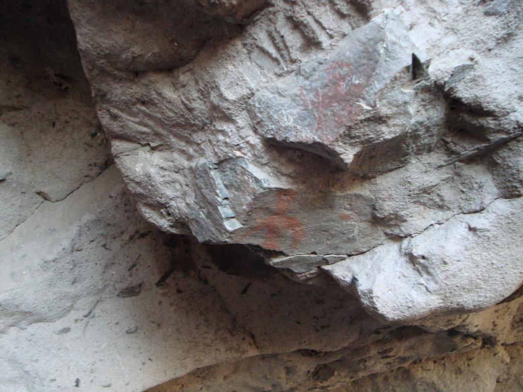
"Inhabited for 11,000 years, this cave has
been home to Hohoka and Apache tribes,
as well as other early settlers of this area.
The paintings you see on the walls date back
over 2,000 years and are remarkable in
their continued color and symbolism. In 1873
the U.S. Calvary fought an Apache tribe and
carved their names and date on the cave
wall after victory. Although those carvings
have recently been vandalized, the cave
remains an important and unusual piece of
American and regional history.
We are disappointed that in the last years
many of the cave's historic paintings and
carvings have been permanently defaced
We cannot repair the damage, but, with your
help, we can preserve what remains. We
hope you enjoy the cave, but ask that you
honor and respect the history of this sacred
place by not carving on its walls, building
fires or damaging its contents, carvings, or
art. If you observe anyone doing so, please
call 480-575-7776. Thank you."
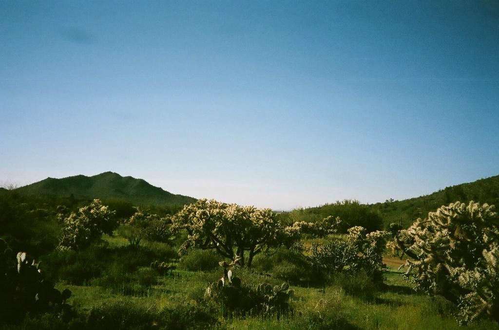
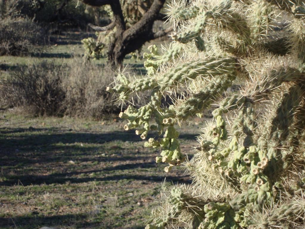
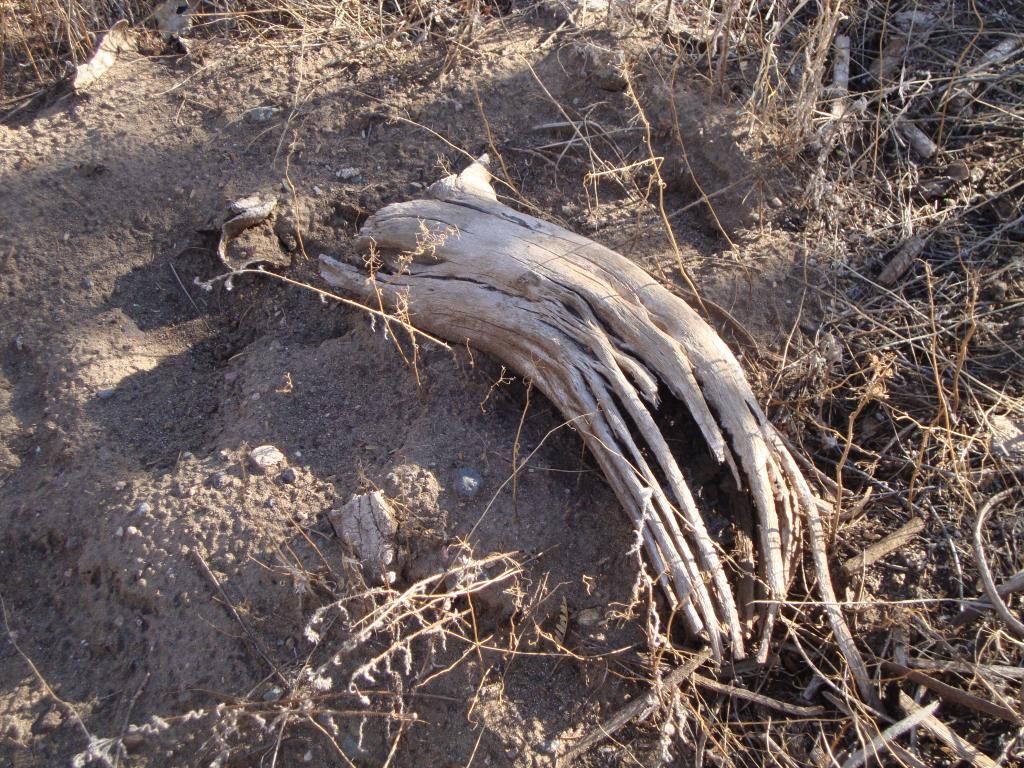
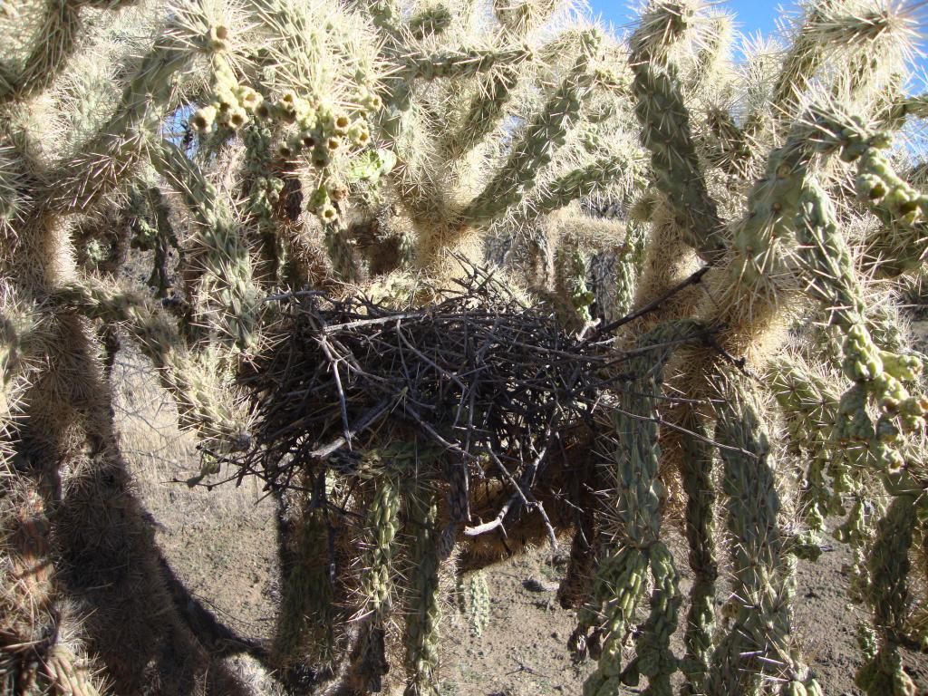
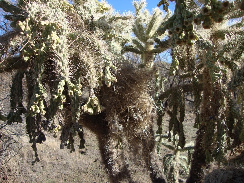
Sara, Cathy, and I met the group at the Desert Foothills Land Trust office, and the hike was led by a woman named Rita. There were maybe fifteen other hikers in the group. We began by walking down a gravel road to get to where the trail began. Along the way, Rita pointed out some things of interest. We stopped at some chain-fruit cholla, and she told us a bit about how chain-fruit cholla propagates. She also showed us the soft, paper-like skin on the needles. We also saw some cholla wood here; it looked just like what my frame at home is made of. A little bit further down the road we stopped at a nest that had been built in a cholla cactus. Rita told us that there were two birds in Arizona that build their nests in cholla cactus; the cactus wren and the curvebill thrasher. I believe she told us that the one we were looking at more than likely belonged to a cactus wren because the curvebill thrasher builds stick nests, and this was not a stick nest. She also pointed out some cowtongue cactus, prickly pear, and creosote. She told us that the creosote is the oldest plant in the desert, even older than the saguaro.
Once we came off the gravel road, we had to walk downhill on the main road to get to where the trail began. The trail itself runs along the creek. Before we got started, Rita told us about how water had come through there once at twenty-one feet high. The water was black due to the ash from the mountains.
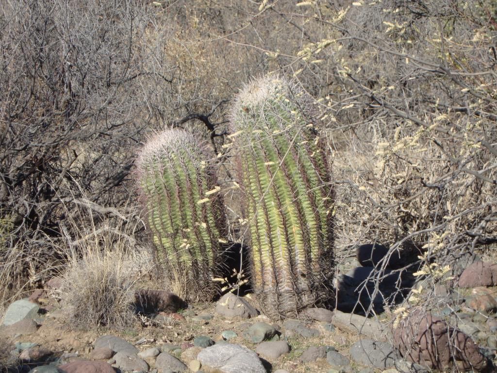
We had to cross the creek to get to the cave, and I'm happy to say that I made it without falling in. We stopped at a place where we saw some first generation bosque which was kind of cool. It was a cool, comfy place where people used to live long ago. She also showed us a chokecherry tree which she said came down from Payson, but I'm not sure what she meant by that. She told us some interesting facts about the compass barrel cactus (most people refer to it as the barrel cactus). It always points in the southwest direction. I believe she also told us that if this cactus is re-planted facing the wrong direction, it can suffer a sunburn of sorts, and may not survive.
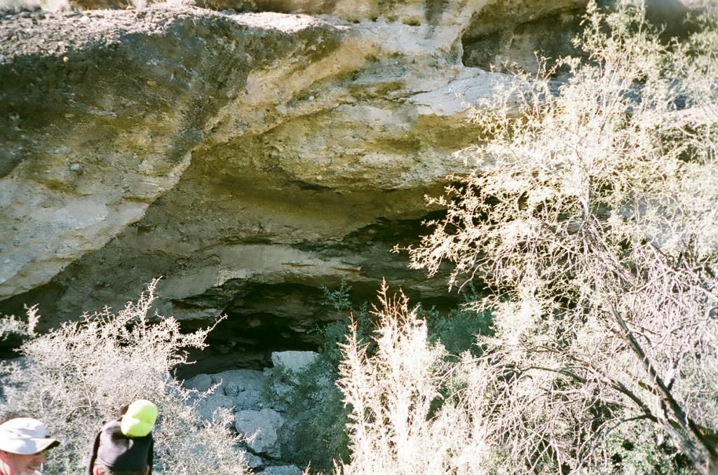
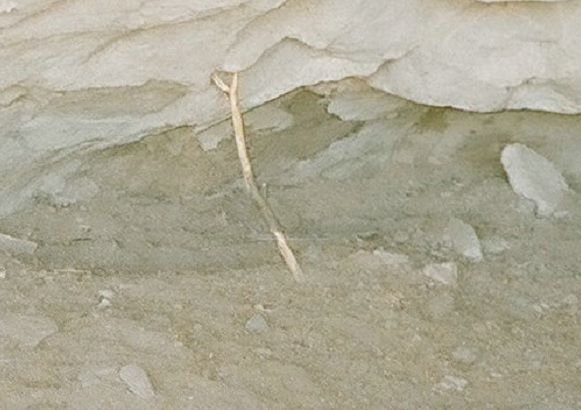
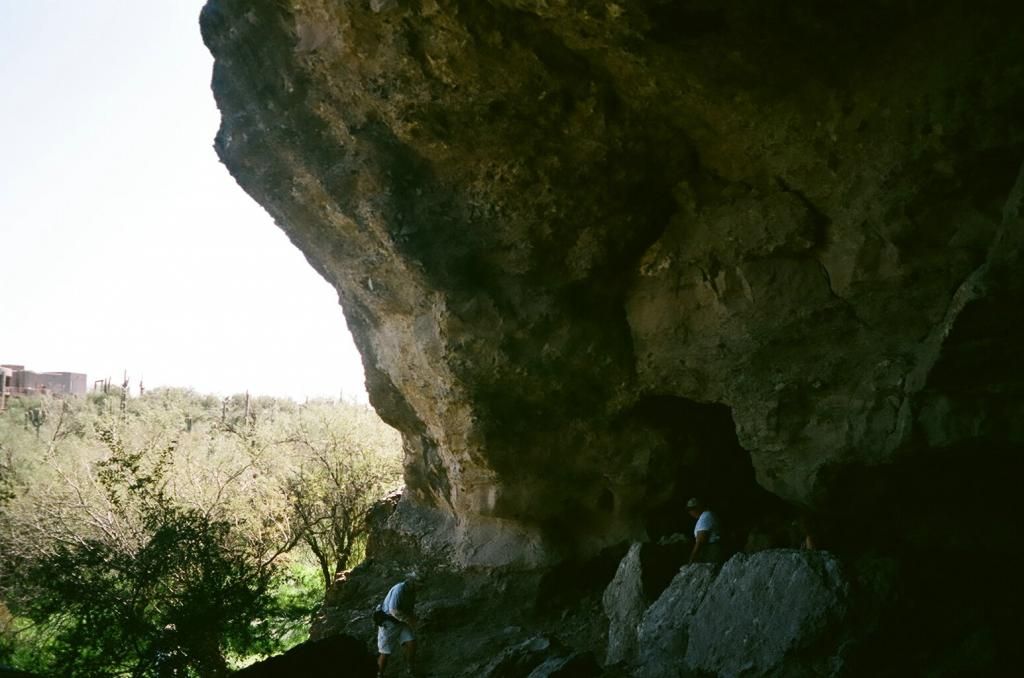
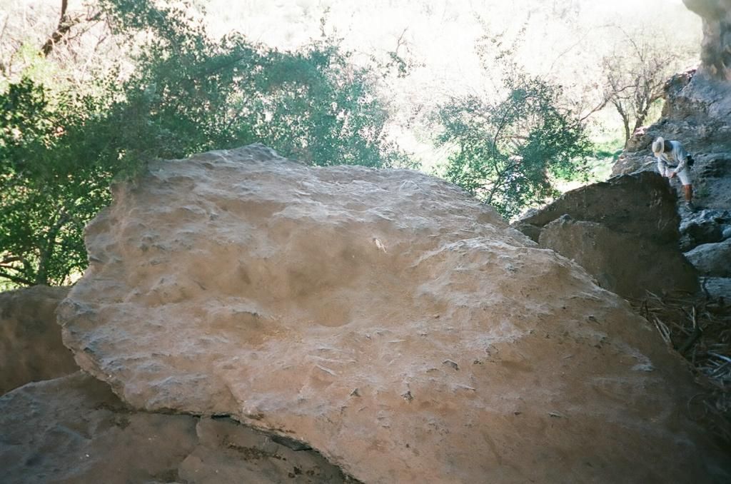
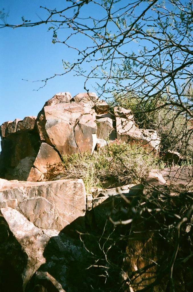
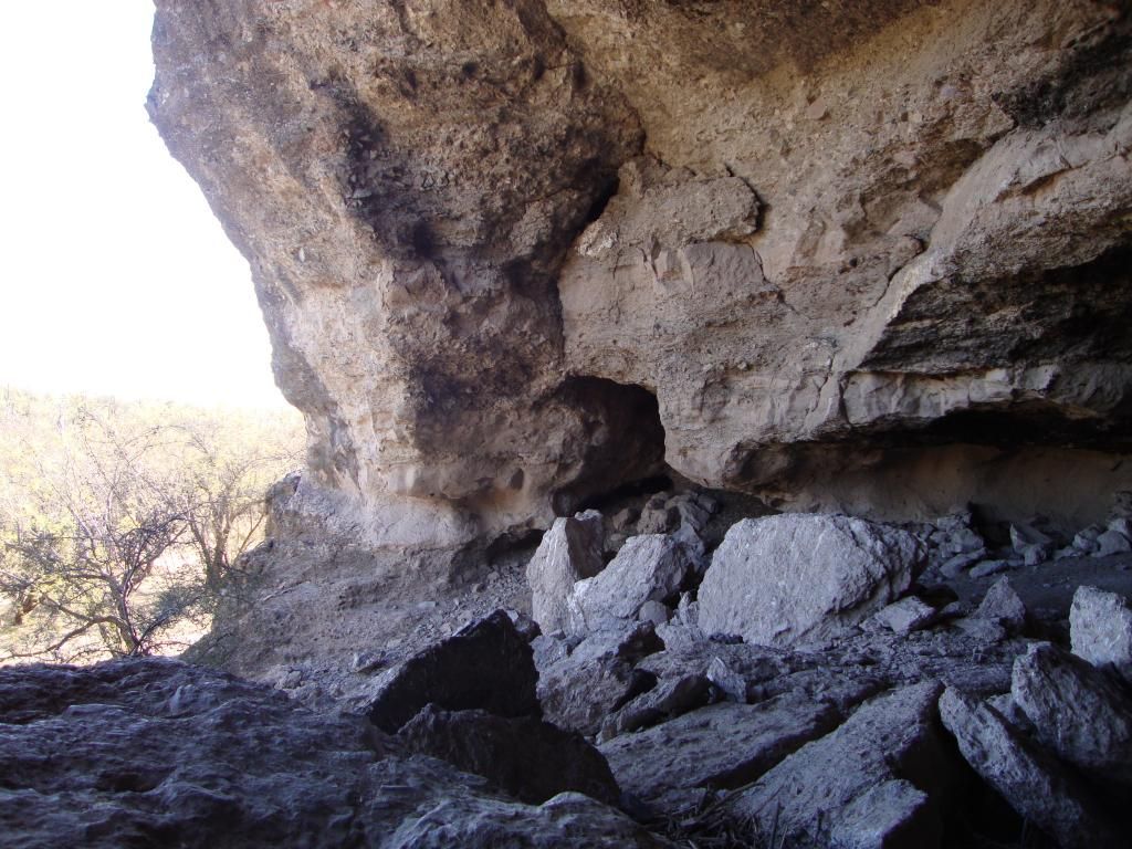
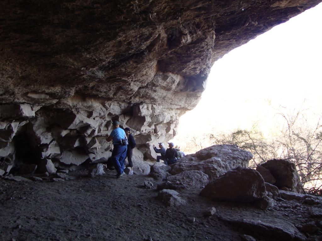
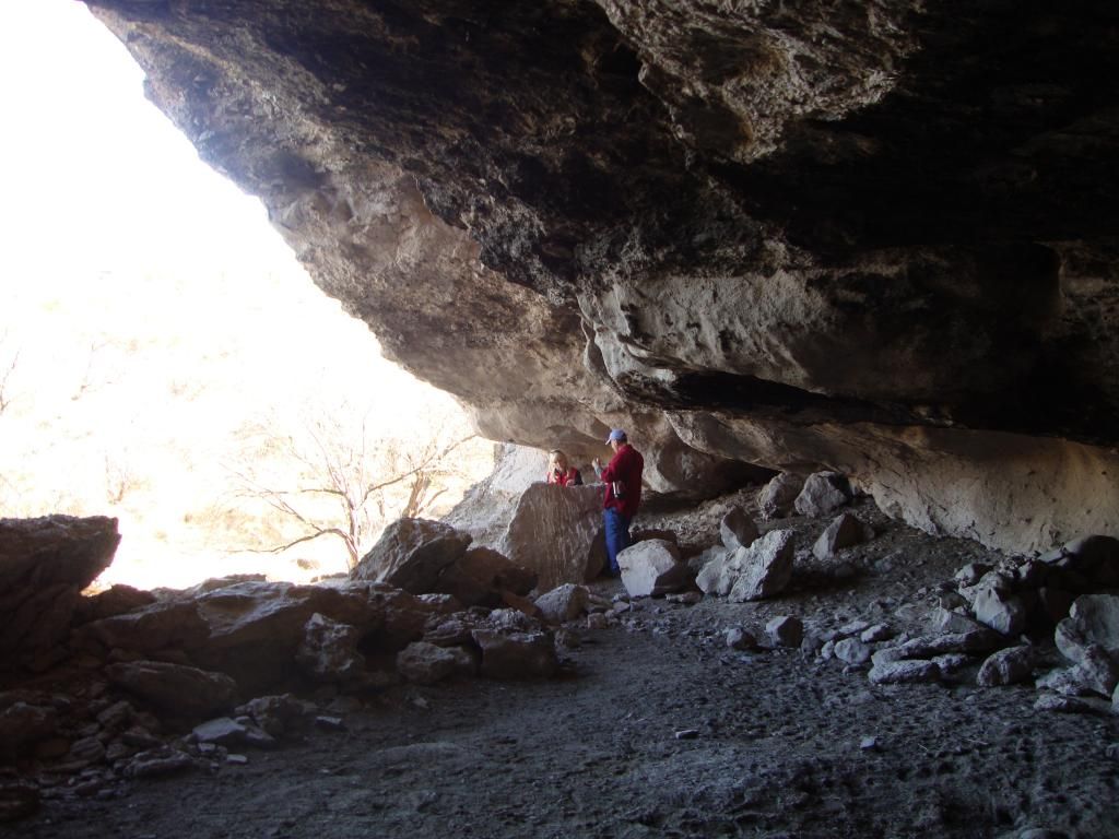
We finally made it to the cave, and it was so much more than I expected both in terms of its size and history. Rita went ahead of us to check for any snakes, birds, javelinas, and yes, possibly a mountain lion that might be in the cave. The cave was much larger than I was expecting, and much more interesting! In 1873, on Christmas morning, nine soldiers from Fort McDowell killed the Apache Indians living in the cave. It was kind of eerie standing there knowing what had happened on that very spot so many years ago. On the wall of the cave are carved some soldiers' names. There is also a very large boulder with a metate carved in it toward the front of the cave. On an amusing note, there is a little stick leaning up against the back wall/ceiling of the cave holding it up.
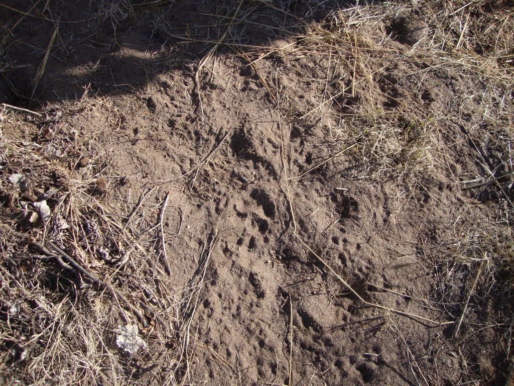
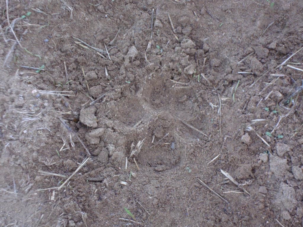
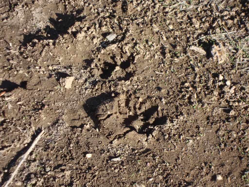
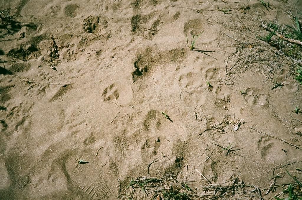
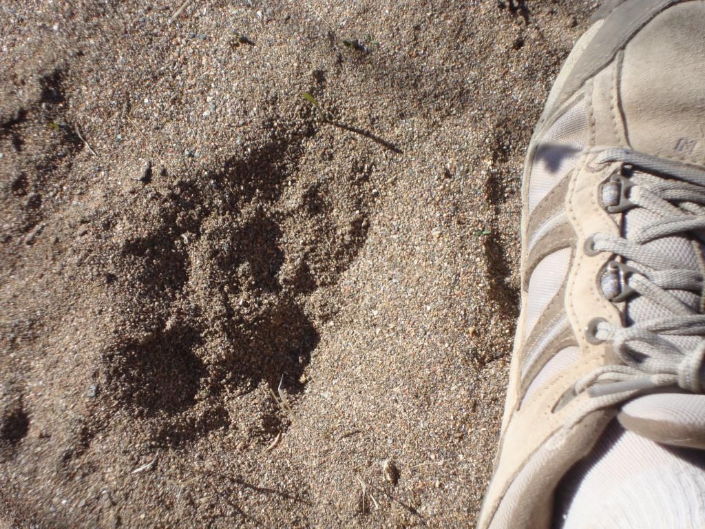
After spending some time in the cave and surrounding area, we made our way back. On the way, toward the end of the trail, we saw some paw prints left behind. I believe someone said that they were too big for a bobcat, and could possibly belong to a mountain lion. We also saw a few wildflowers on the way back.
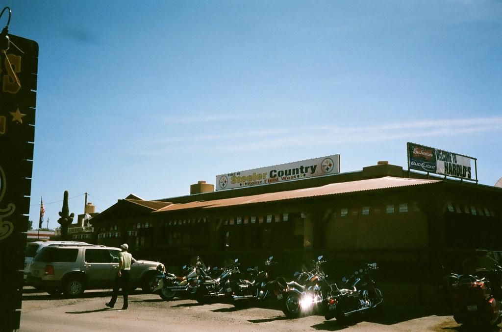
One of the times I went to the cave I met the others at the Desert Foothills Land Trust office, and the other time I met the others at this restaurant in New River.
On the way out to where we would park our cars.
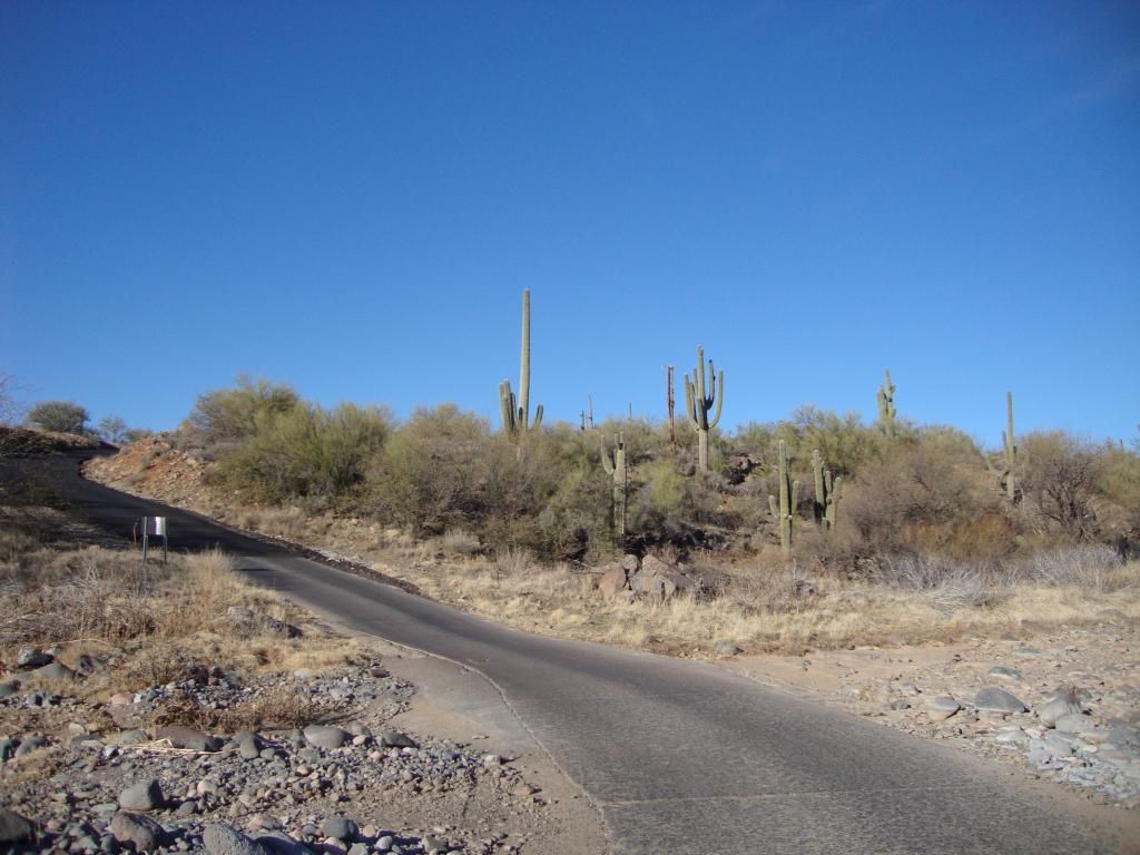
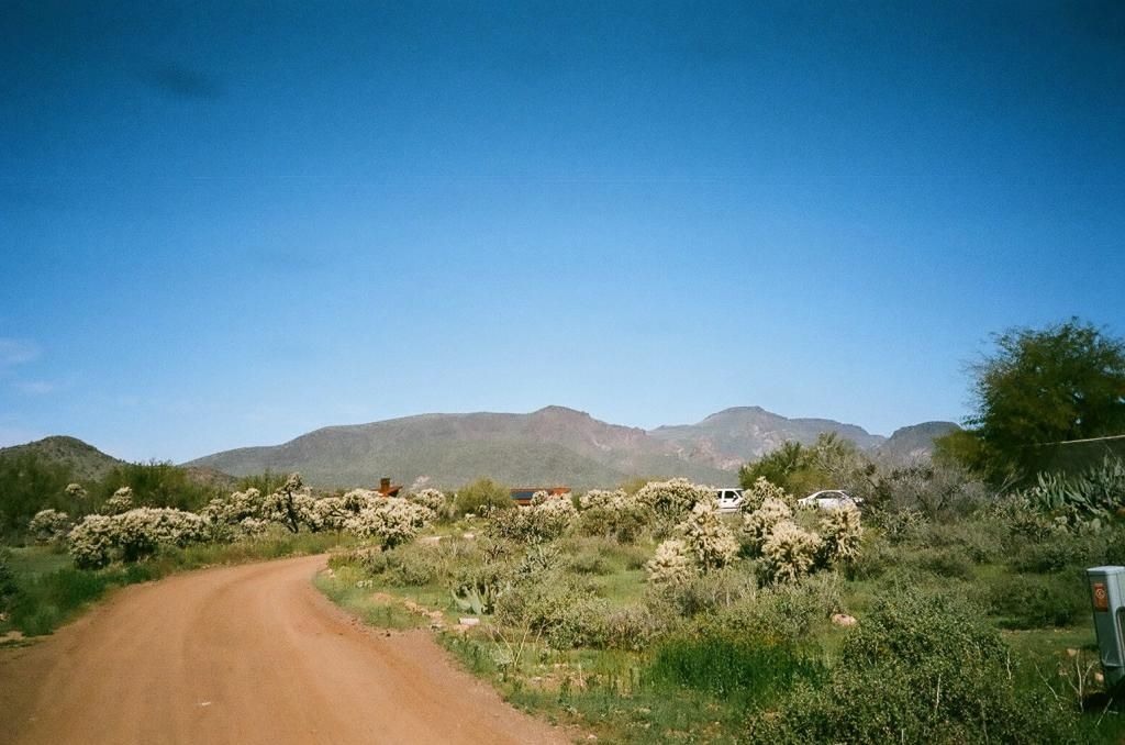
At this point we were walking to get to the start of the trail.
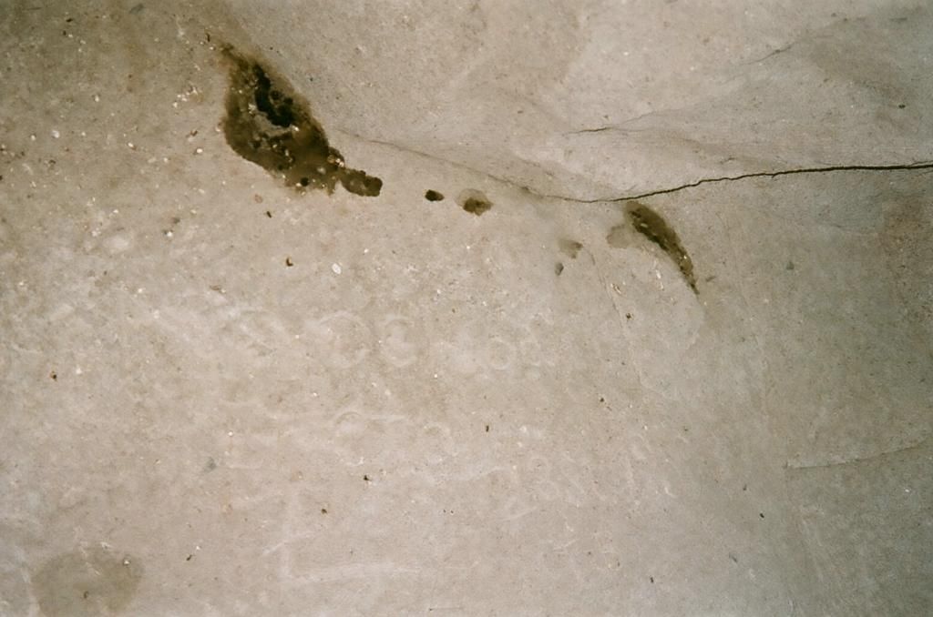
Animal tracks
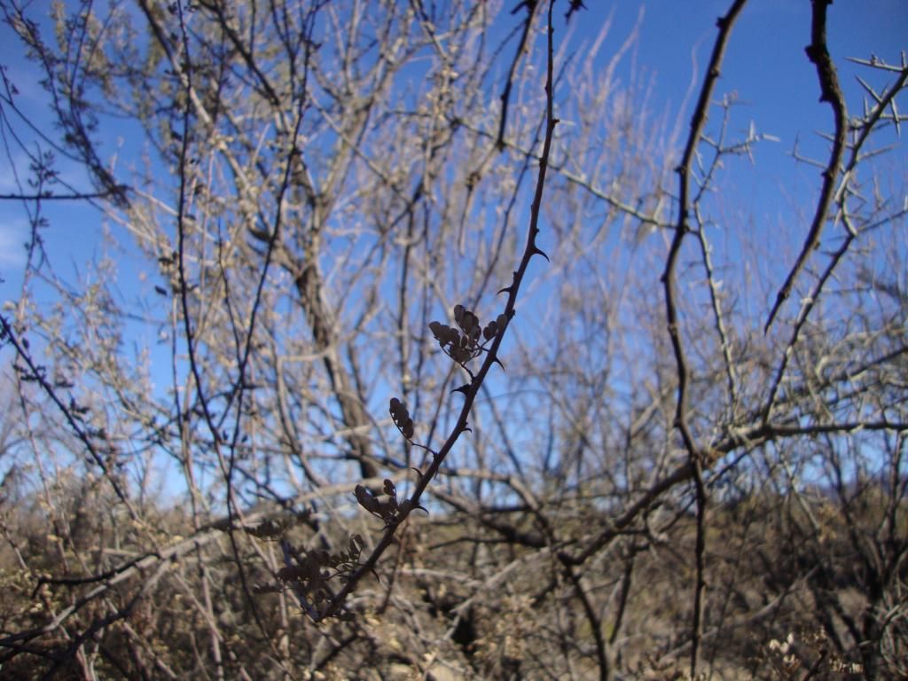
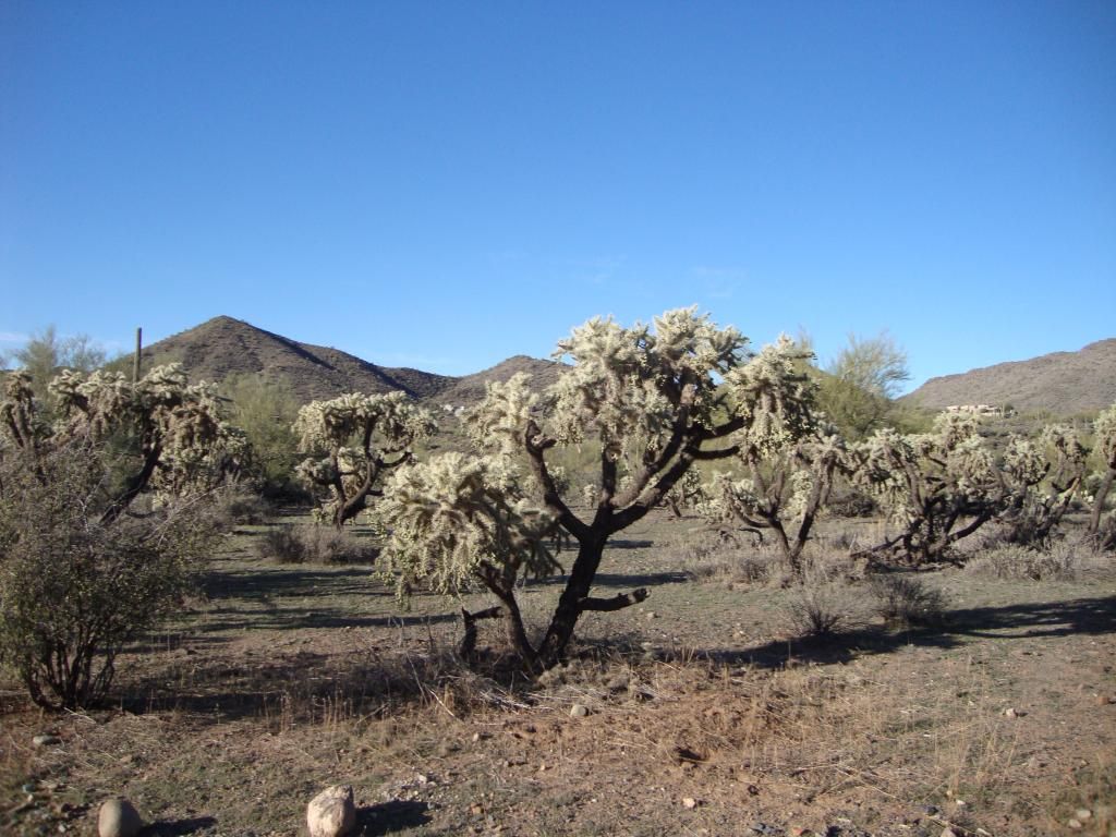
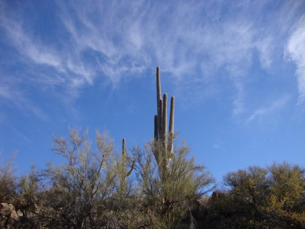
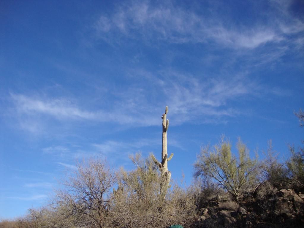
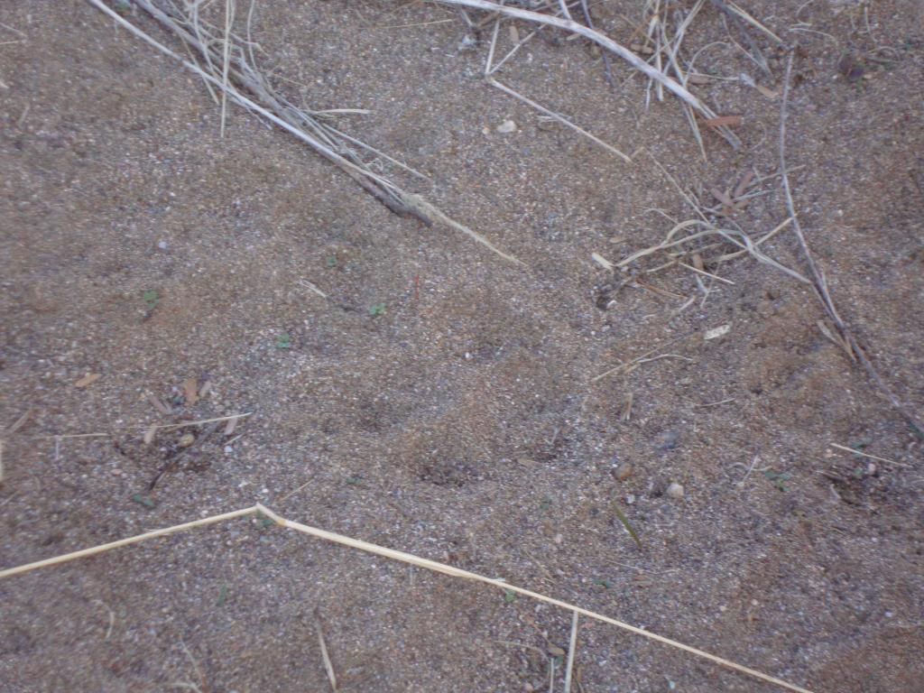
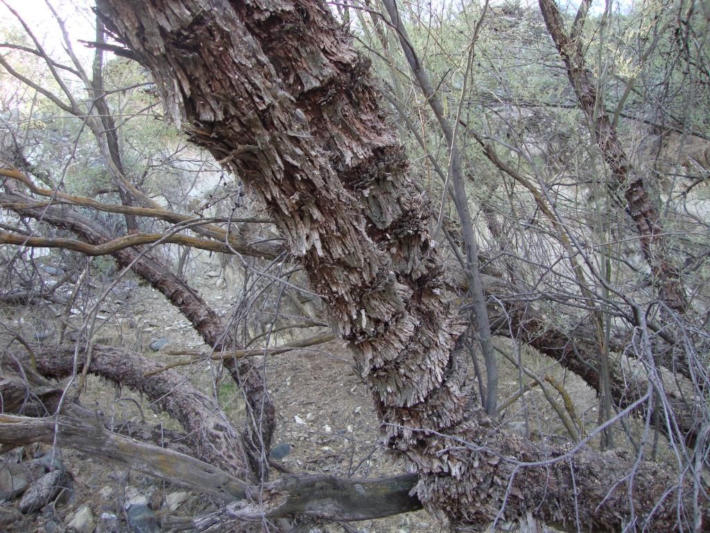
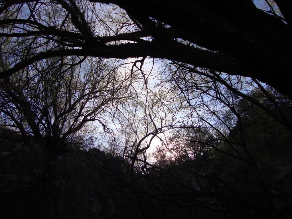
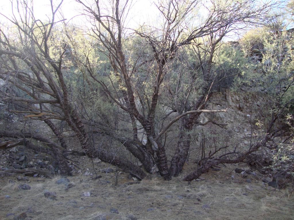
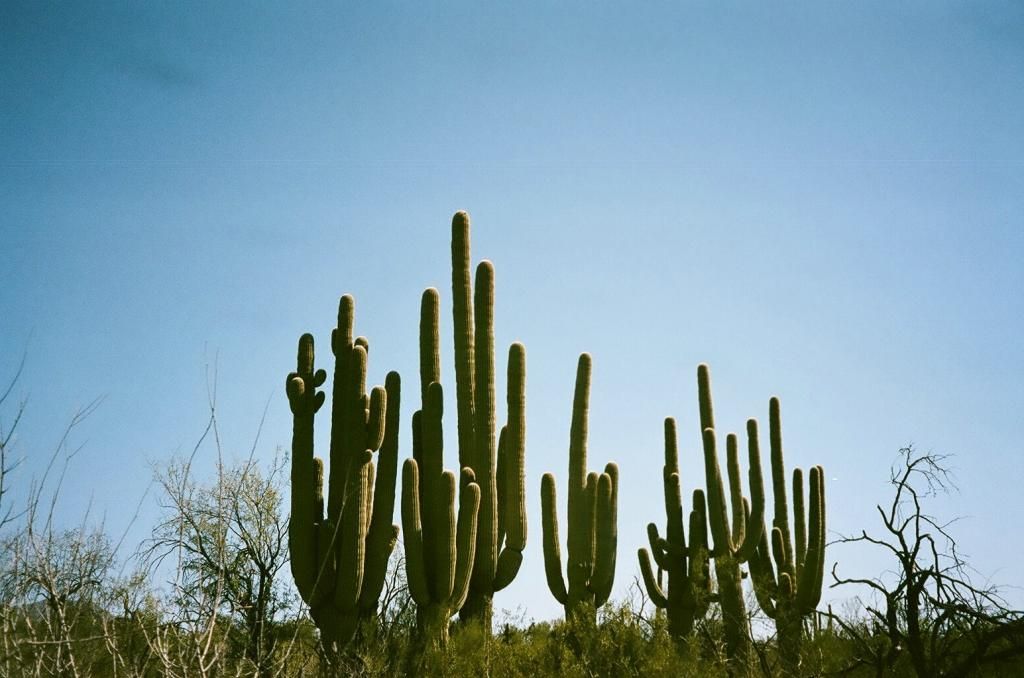
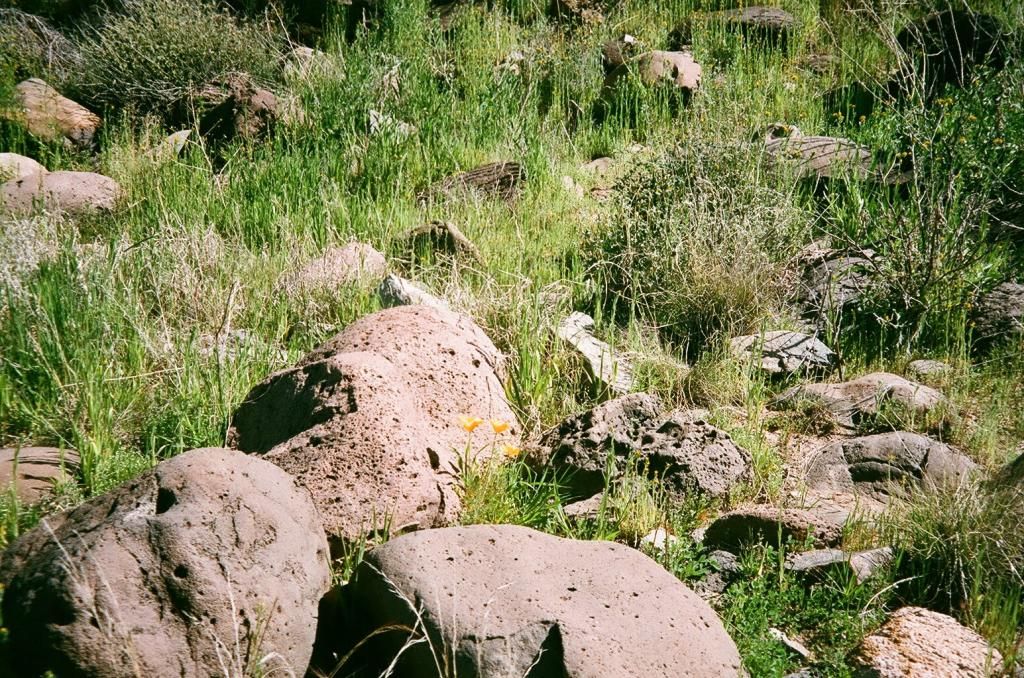
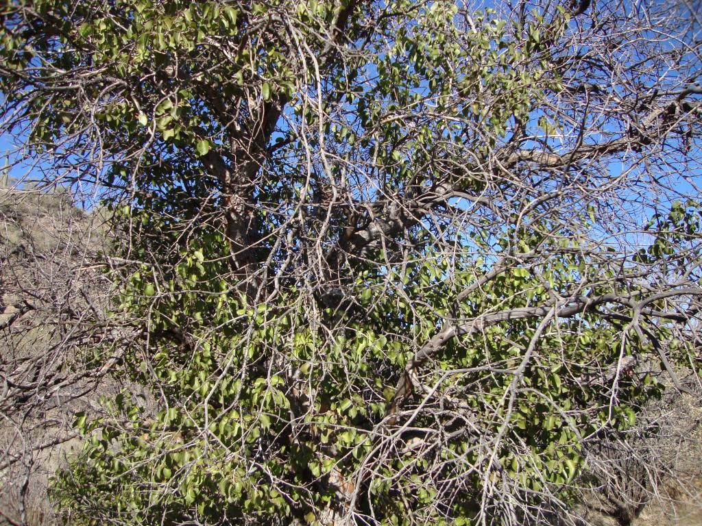
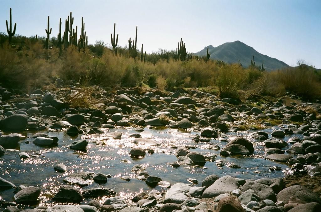
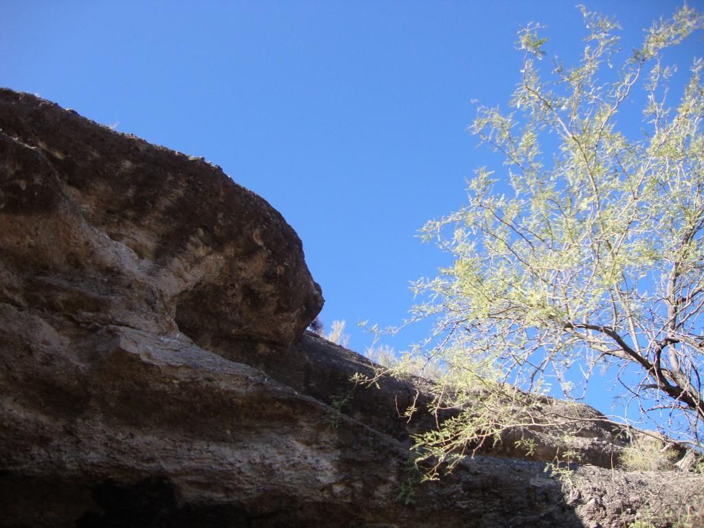
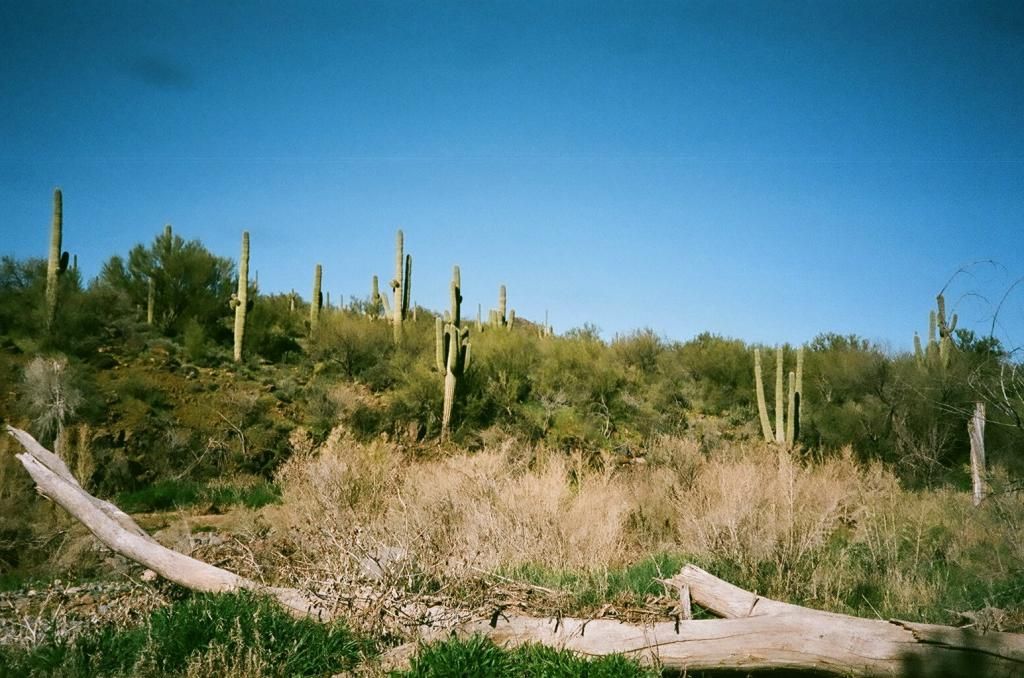
This photo and the following are of the surrounding area on the way to the cave.
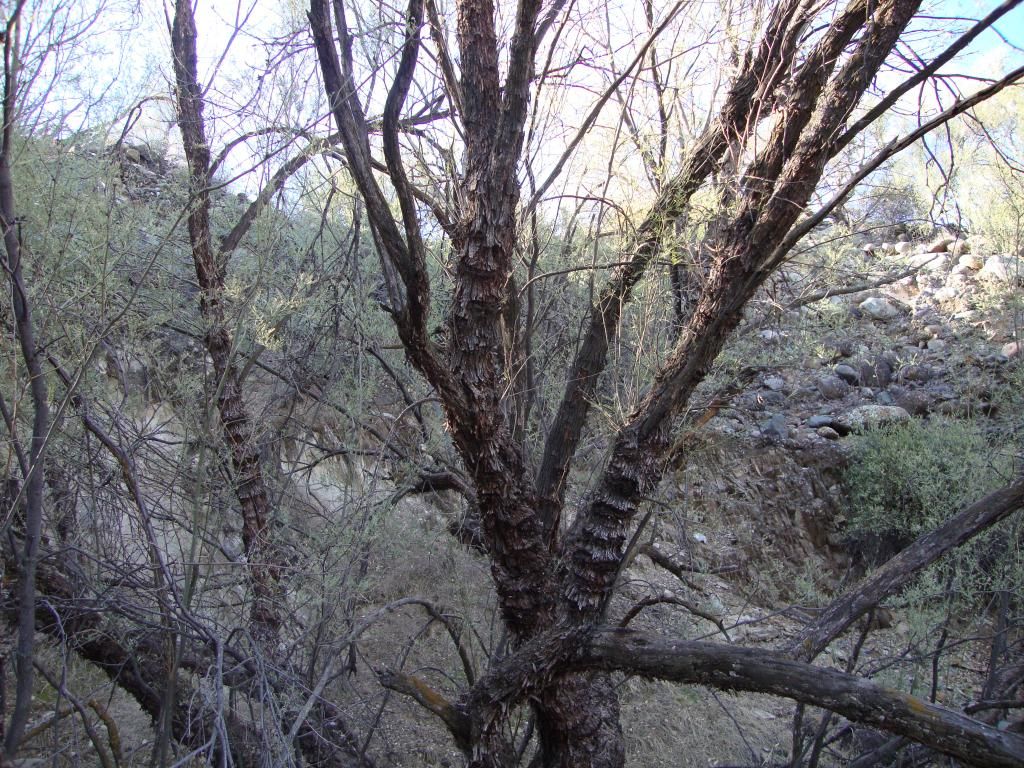
This was the area where we saw some first generation bosque and where people used to live.
This is the creek we had to cross to get to the cave. I thought for sure I was going to wipe out on one of the rocks but I managed to make it across without falling in.
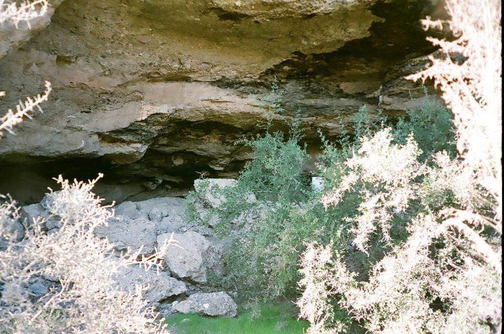
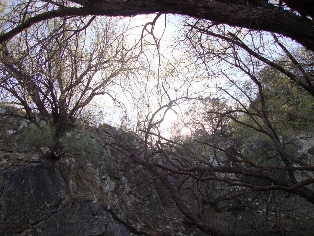
I believe I took this as we were approaching the cave.
It's a little tough to see in the picture, but there's a little stick at the back of the cave that is holding it up. (lol) You can see it a little bit better in the photo below.
I took this while in the cave looking out to the right.
This is a picture of a large boulder that is in the cave.
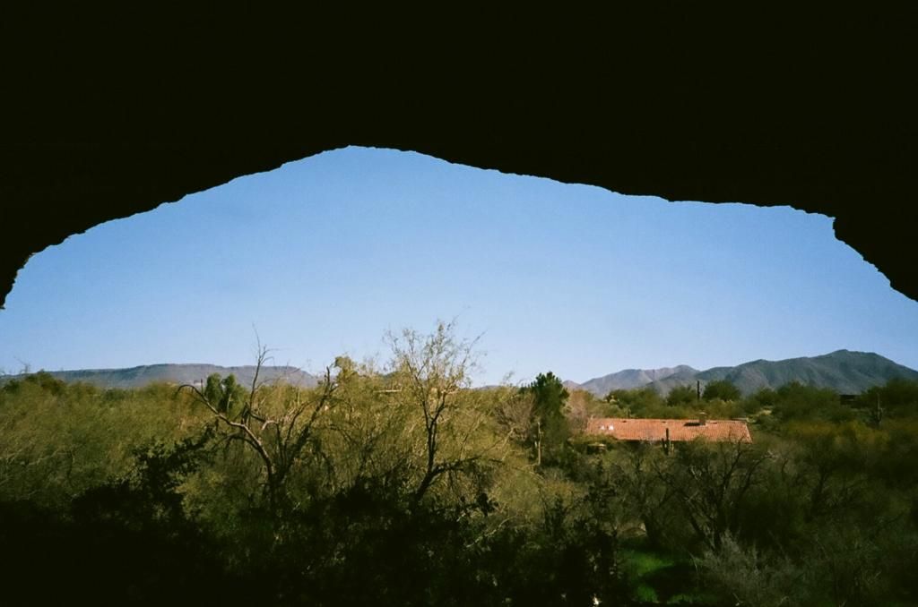
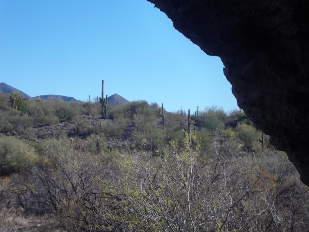
Looking out the front of the cave.
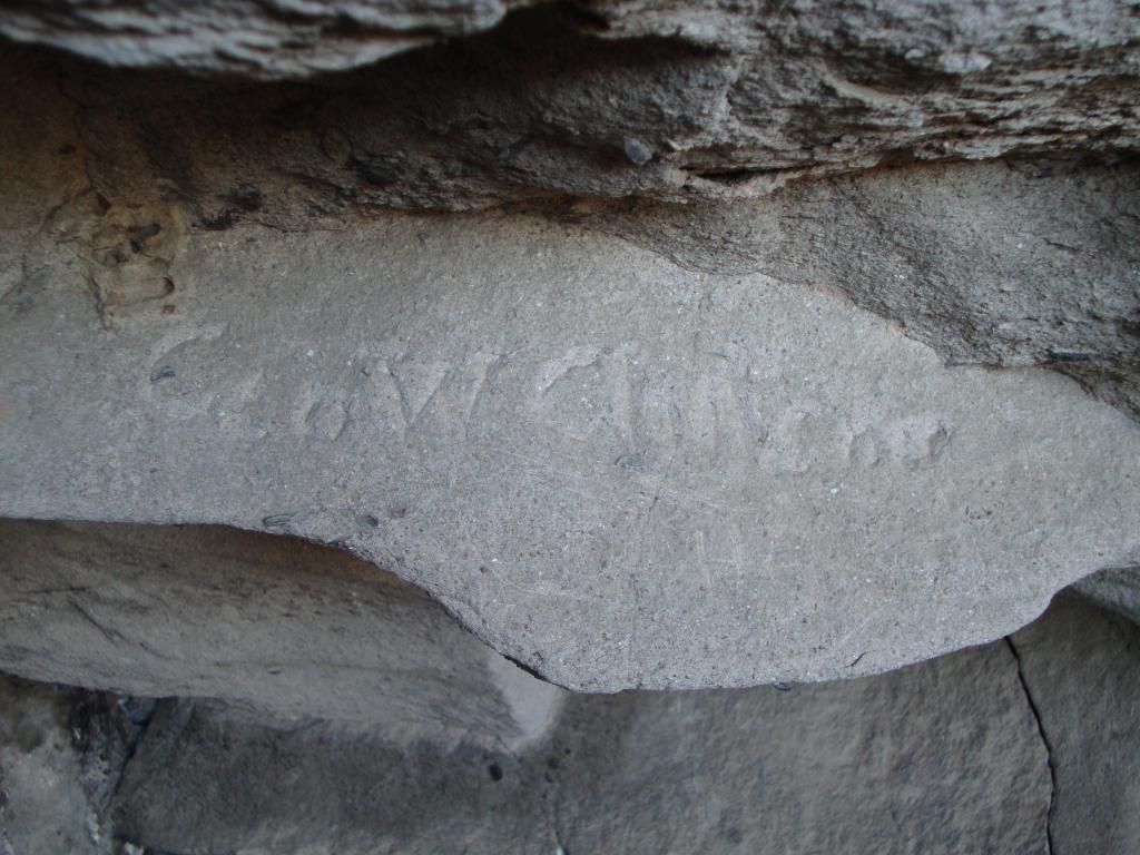
You can see the carving a little bit better in this picture.
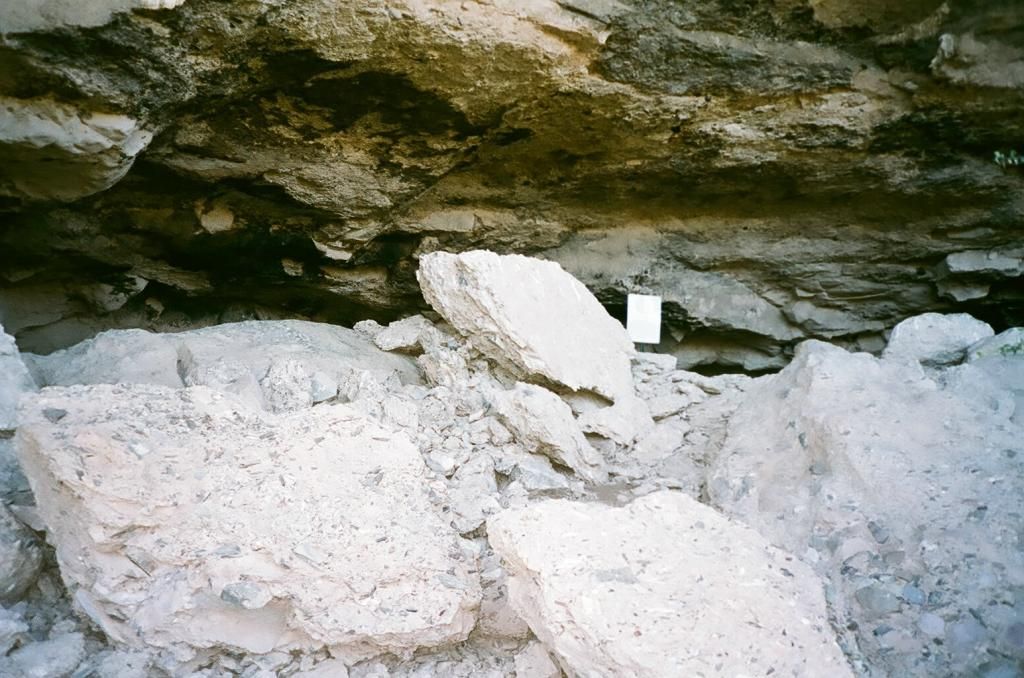
I took this picture while in the cave.
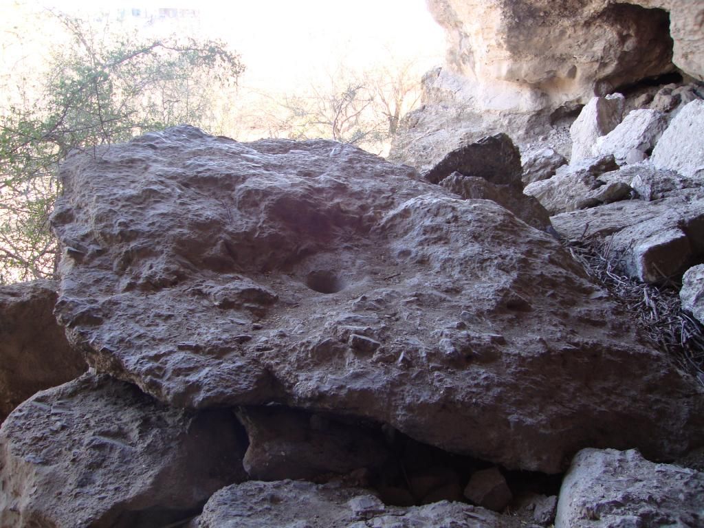
This is the boulder that has a metate carved into it. The metate appears as the dark spot in the middle of the boulder.
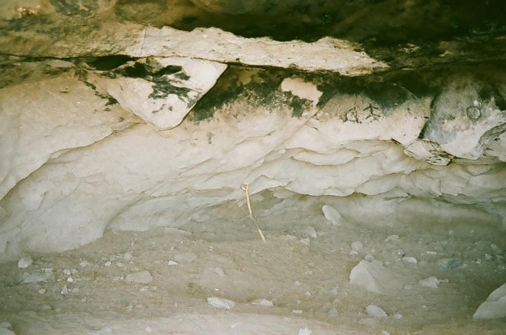
The wall of the cave.
Looking toward the left side of the cave. If I recall correctly, the carvings are on the wall on the left side of the cave.
Looking toward the right side of the cave. This is where we entered it.
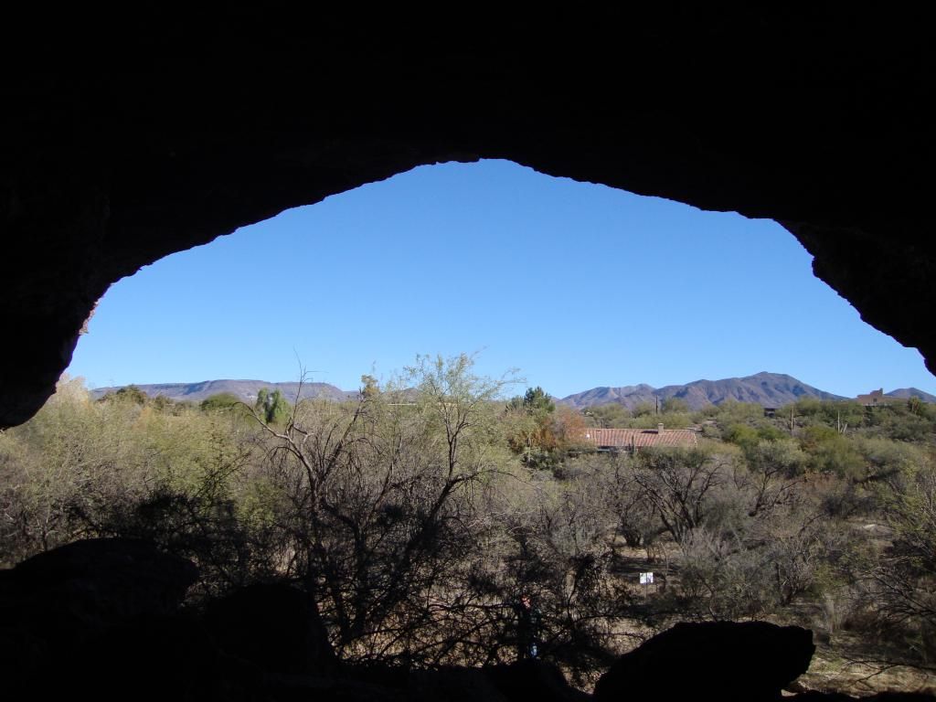
Looking out the front of the cave.
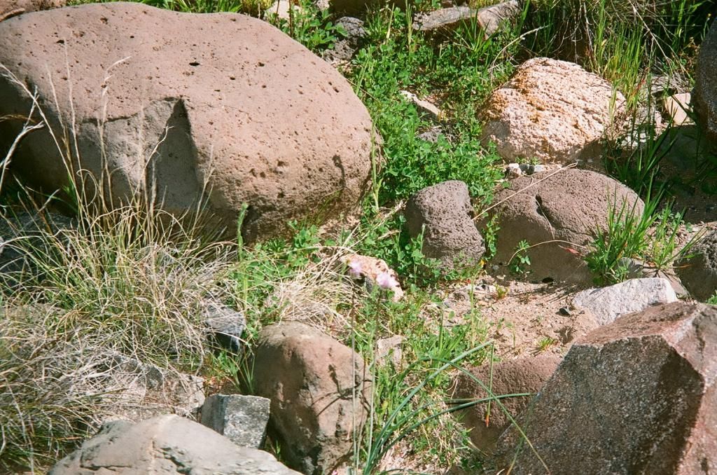
More animal tracks.