This trail is located out by Saguaro
Lake, an area in which a group of us
had been for lunch at the Saguaro
Lake Marina
after hiking the Massacre Grounds Trail in the Superstitions. I remembered it
being a nice area so I decided to see if there were any hiking trails in the
area. I decided on the Butcher Jones Trail as it seemed to be a popular trail.
I didn't actually get on the trail and get hiking until about 1:45. A Tonto National Forest Pass is required to park and, although I was warned in one of the articles I had read that there is no "self-pay machine" available at the trailhead, I'm not familiar enough with the area to know where to stop. (I had asked at Fry's, but they don't sell them.) Anyway, there is a sign located at the point at which you turn off Bush Highway onto the road that leads to the trailhead indicating the three places "nearby" where one can purchase a pass. The nearest was about ten miles back at the Baja's gas station on McDowell and Highway 87. I was really tempted to park without the pass but, rule-oriented person that I am, I didn't want to risk it and so I went back for the pass. I was disappointed because this meant that I wouldn't be able to hike the entire trail - I believe I had thought it would take about four hours and wanted to be off the trail by 5:00, before it became dark.
The parking area is very large with the beach off to the right as you first drive in. The trailhead is just to the left of the beach as you are facing the lake. One thing I noticed is that there were a lot of all-terrain vehicles in the area. In fact, I believe there is a trailhead specifically for ATVs in that parking area.
One of the articles I read mentioned the first part of the trail, which is actually a narrow section of pavement that leads to a fishing dock right before the beginning of the trail. If I remember right, they described the actual beginning of the trail as "emerging from the chaos." An excellent, as well as accurate, way to describe it! The paved area was crowded with people fishing, small children running around, strollers, and people smoking and throwing their garbage all over the place, including the lake. The area that led to the trail and the area to which I came shortly after passing the fishing dock (where the trail actually started) was like the difference between night and day. There was an area a little way into the trail that was littered, but after that it was litter-free. I'm guessing a lot of people begin the hike, but don't get very far before they turn back.
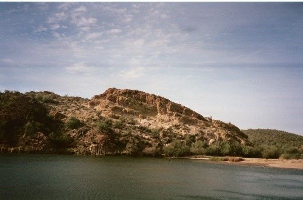
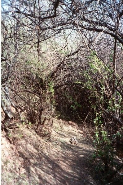
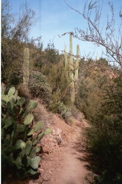
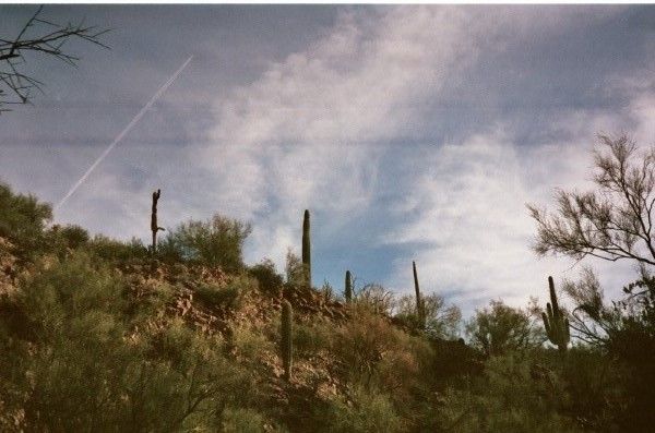
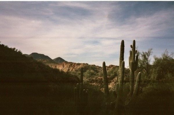
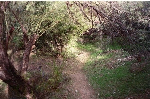
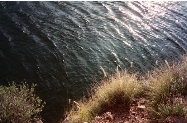
I really liked the trail once I got past the paved portion. At first, the trail ran right along the lake. The trail was a bit narrow with steep drop offs so one miss-step could land you in the lake! After a bit, the trail descended somewhat and became very closed in as it ran under what I believe are mesquite branches, but I'm not sure about that and I lost sight of the lake for a bit. A short time later, I climbed out of that area and was able to see the lake again before descending back down into yet another canyon. I remember seeing a couple of kayaks out on the water at this time. The views were spectacular while I was down in this small canyon. I couldn't see the lake, but the views while looking up were fantastic. I was surrounded by large boulders, trees, and cactus.
After I had climbed out of that small canyon, I came across a fellow hiker on the trail and asked him how far he had hiked. He told me he had hiked to Campers Cove. Since I had gotten a late start, I decided I would hike to that spot as well and then do the entire trail another time.
After I had hiked for about forty-five minutes to an hour, the trail became difficult to follow. I was on a very high lookout area and, although I tried a few different paths, I couldn't find where the trail was. I had a map but, anybody who has done any amount of hiking knows that the markings on those crude park maps and the trail itself are two very different things. I didn't feel too bad about it (other than being disappointed that I didn't make it to Campers Cove when I was fairly certain I was close) because I had read in more than one article that the trail could be hard to pick up in some areas. I was up there for about 1/2 hour before I decided to turn back. I had wanted to hike a bit longer that day (especially after the long drive out there and the hassle obtaining a park pass), but I always put safety first and thought it would be best to turn back and try another time.
The views of the lake and the surrounding mountains from the area at which I turned around were absolutely breathtaking. I definitely want to hike this trail again. (I also enjoyed a nice view of Four Peaks on the way back.)
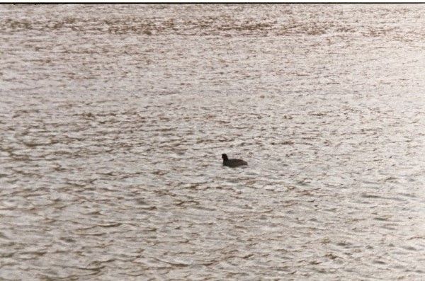
On the way back to the trailhead, I decided to walk out onto the fishing dock. It was a fairly windy day and, as I looked out onto the lake, I saw two people in a rowboat rowing toward shore. Only one person was rowing and I remember feeling bad for him because they were probably being pushed back one foot for every few feet they rowed toward shore because he was rowing into the wind - poor guy! There were also a lot of ducks swimming around in the lake.
I really like this trail and the area itself; unfortunately, it has been spoiled by litter and graffiti. There were cigarette butts and litter on the paved trail leading out to the fishing dock as well as in the lake. One area close to the trailhead looked like a garbage dump. Despite the unfortunate actions of the idiots that don't respect the land, it's a nice trail and I'll definitely go back.
The beginning of the trail.
Fishing dock
This was toward the beginning of the trail. It's a really nice part of it as it runs along the lake.
There was a lot of brush along the trail at this point.
The trail gets a little bit rugged here.
The Four Peaks off in the distance.
I was standing on the trail here looking down at the lake.
I got a picture of this little guy while standing on the fishing dock after hiking.
More photos of this hike can be found here.






No comments:
Post a Comment